by Floriana Miele
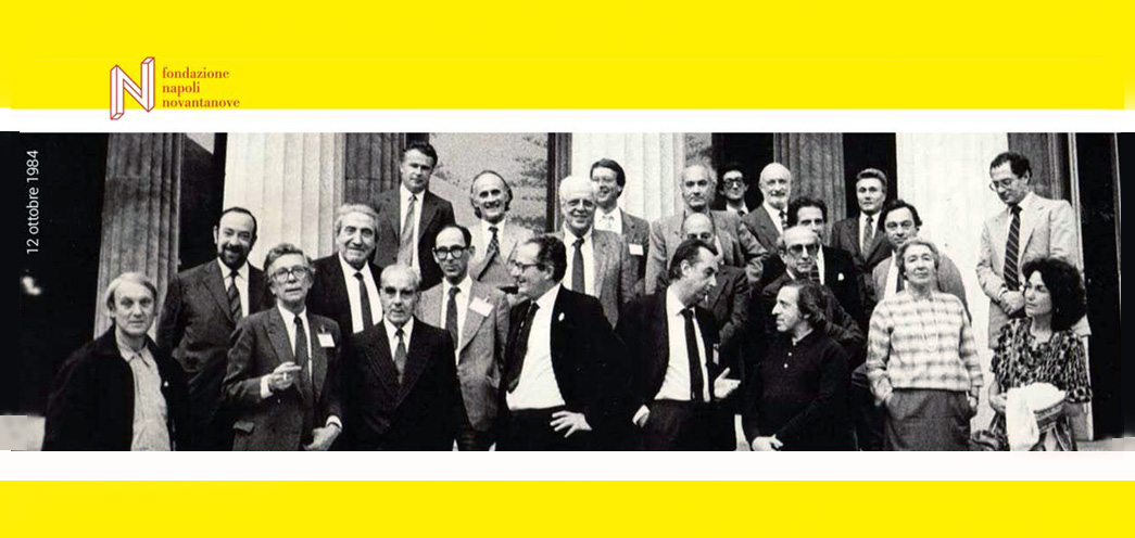
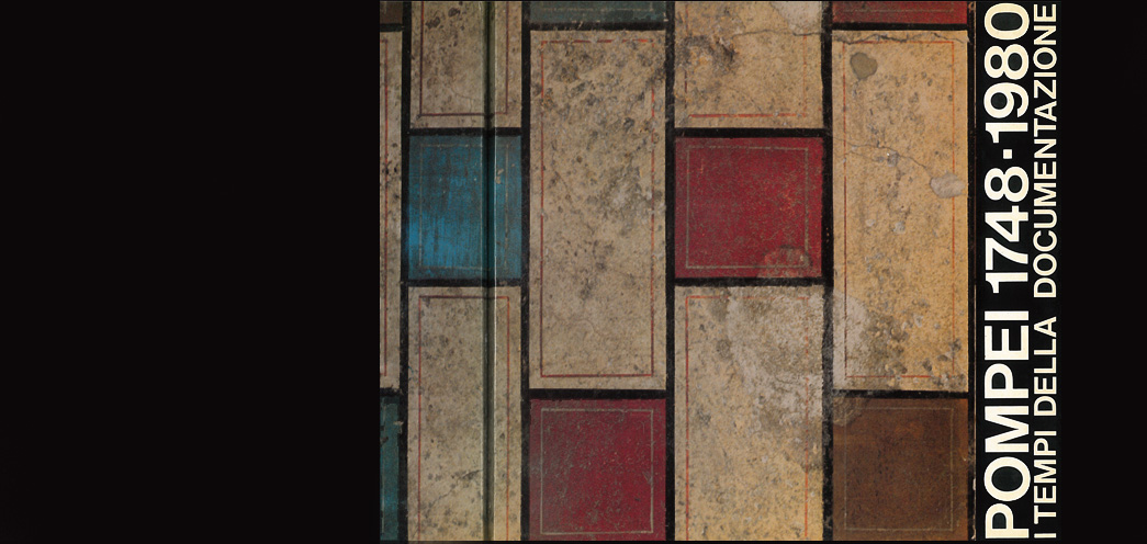
During the 1980s, State Institutions of the Italian Cultural Ministry introduced in the Campania Region the first computer applications for cataloguing archaeological and artistic objects or ancient sites and monuments. The Istituto Centrale per il Catalogo e la Documentazione (ICCD) together with the former Soprintendenza Archeologica di Napoli e Caserta conducted an accurate investigation into the damages suffered by Pompeii ancient buildings after the crushing earthquakes occurred between 1980 and 1984 as well as a photographic survey of the Pompeian wall paintings and mosaics. Significant repertoires were generated and the documentation method was illustrated in an itinerant exhibition (“Pompei 1748-1980. I tempi della documentazione”). Unfortunately, the automatic retrieval and reuse of the collected data proved to be impracticable in the following years.
Conversely, a wider and efficient program for cataloguing cultural items was carried out between 1987 and 1990, thanks to the State extraordinary funding for the safeguard of cultural heritage (ex art. 15, L. n. 41/1986). The funding was managed by multinational IT companies that involved young specialists under the control of the Superintendence and ICCD. Although the results were sometimes patchy, these projects yielded a large amount of data. Several forms – structured according to cultural items’ categories and provided with digital images – were compiled following a precise syntax and specific ICCD dictionaries.
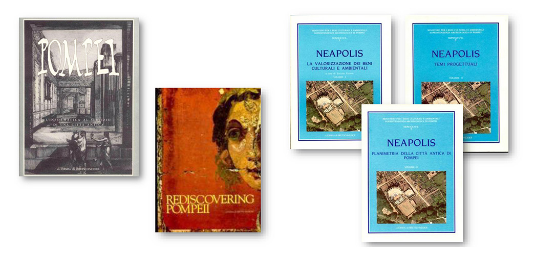
Among these initiatives (e.g. “Pinacos-Eubea” concerning Naples and Campi Flegrei, and “Co.Be.Cam” involving some Civic Museums in Campania), the Neapolis Project was focused on Pompeii and the Vesuvian area. It was carried out by the Consortium Neapolis (formed by IBM Italia and Fiat Engineering) in agreement with the former Soprintendenza Archeologica di Pompei and the Soprintendenza Archeologica di Napoli e Caserta. The project was highly appreciated given the wide range of the issues considered, the spectrum of IT advanced applications and programs, and the effectiveness, quality and quantity of its results. Within a complex DOS information system, some logical and technological focal points were defined pivoting around the geographical location and cultural context of the archaeological items. This conceptual approach has permeated many archaeological computing cataloguing systems or GIS, up until the most recent ones (ICCD SIGEC Web and the Campania SIT).
All ancient evidence documented in 39 city districts of the Vesuvian area was anchored to IGM digitised maps (1:25,000) and cadastral maps (1:5,000), which allowed users to extract thematic maps about geographical, physical, anthropological, archaeological and cultural aspects of Pompeii and its surroundings. Thanks to documentary research and on field surveys, the mapping system was used to thoroughly conduct an accurate analysis of the archaeological structures known in the territory, which were described in 650 CAT (Territorial Archaeological Census) forms, with 650 images and 337 BAT (Territorial Archaeological Bibliography) forms, in order to develop a prototype for all the GIS-based projects of the Vesuvian ancient cities.
Similarly, 24 vectorial maps of the ancient Pompeii were generated, based on the aerophotographic survey (1:1,000) conducted in 1983 by H.B. Van der Pöel. Its accuracy was verified in loco and compared with the maps drawn in 1993 by L. Eschenbach. Moreover, a color photoplan (1:500) was derived from aerial photographs. A systematic catologuing survey of the wall paintings and mosaics was developed both in Pompeii and in the Museo Archeologico Nazionale di Napoli. 31,186 RA (Archaeological Remains) forms were digitised and entered into a relational database, SAXA, provided with 7,093 digital colour images and localised on the archaeological digital maps of the ancient city by means of specific topographic addresses (the RICA map, with regio, insula, house and rooms numbers).
The Neapolis Project also promoted a detailed analysis of Pompeii excavation journals, from 1862 to 1970: about 5,100 pages were digitised using powerful photographic instruments and producing 12,200 digital forms that made it possible to connect each finding described in the archive documents with its originary location on the Pompeii digital maps. All databases were integrated into an information system that allowed users to freely surf through digital resources and archives by means of SQL queries. Thanks to user-friendly interfaces, the information retrieval system provided more detailed data on the historical, social and economic context of ancient Pompeii. A digital address book was also produced, together with many classifications and statistics about the typology and function of Pompeii buildings and of its suburban area.
Other technological applications were tested as well: 3D virtual models of Pompeii landscape, buildings and wall paintings; a “smart system” for the degradation analysis and virtual restoration of wall paintings; an application to analyse, using false colours and sign markers schemes, the digital images of the Greek and Latin texts copied on the carbonised papyri discovered in the Papyri Villa of Herculaneum in the mid-18th century. Some educational hypertexts were created concerning the urban planning, the political, administrative and religious organization, the daily life and the commercial and handcraft activities in Pompeii. Furthermore, four interactive hypermedia tools described the history of excavations, some specific artistic and social aspects, thematic itineraries providing insights into the wall paintings, and the virtual visit to the Casa del Menandro and the Casa dei Vettii. All these computer applications were at the core of the renowned exhibition “Rediscovering Pompeii” held in 1990 at the IBM Gallery of Science and Art in New York.
Contrary to what was often reported, most of the data produced by the Neapolis Project were retrieved by similar initiatives in the following years as part of more complex information cataloguing systems: local systems, like SELMO and SIAV (Sistema Informativo per l’Archeologia Vesuviana), web systems like CRBC, or lastly the Great Pompeii Project and the Herculaneum Conservation Project.
VMAC-2018


F. Miele, La conservazione della memoria materiale e immateriale, Roma 2008